
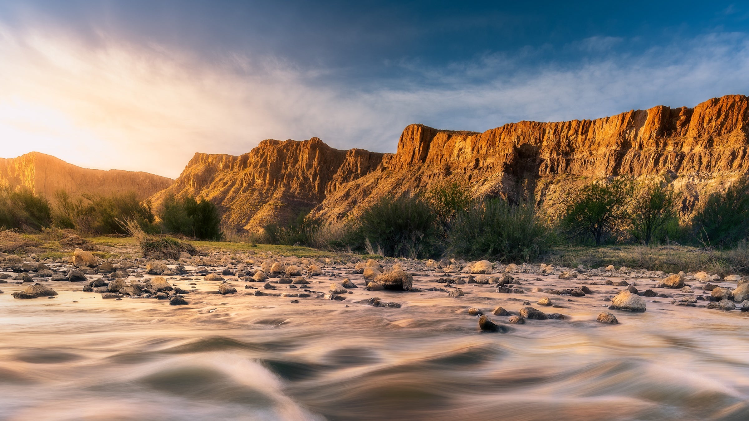
New Map Reveals Potential Border Wall Through Big Bend National Park
Recent developments indicate that the Trump administration plans to construct a border wall through Big Bend National Park in Texas. A newly updated map from U.S. Customs and Border Protection (CBP) shows the proposed wall extending along the park’s southern boundary, which borders Mexico. (nationalparkstraveler.org)
The Department of Homeland Security (DHS) has expedited this project by waiving 28 environmental and historic preservation laws, including the Endangered Species Act and the Clean Water Act. These waivers aim to accelerate the construction of the “Smart Wall,” a system integrating physical barriers with advanced detection technologies. (planetizen.com)
Big Bend National Park, encompassing over 800,000 acres, is renowned for its diverse ecosystems and cultural significance. The proposed wall has sparked significant opposition from conservation groups and local officials. Critics argue that the barrier could disrupt wildlife migration routes, increase flooding risks, and harm the park’s natural and cultural resources. (npca.org)
Local residents and business owners have also expressed concerns about the potential impact on tourism, a vital component of the regional economy. Brewster County Judge Greg Henington stated, “We understand the importance of border security here, but it would be crazy to build a wall in Big Bend National Park.” (dallasnews.com)
As the project progresses, stakeholders continue to advocate for solutions that balance national security objectives with the preservation of Big Bend’s unique environmental and cultural heritage.
Border Wall Construction Advances in Big Bend Amid Environmental Concerns:
- Texas Border Wall Construction Advances in Big Bend Amid Environmental Concerns, Published on Monday, February 09