
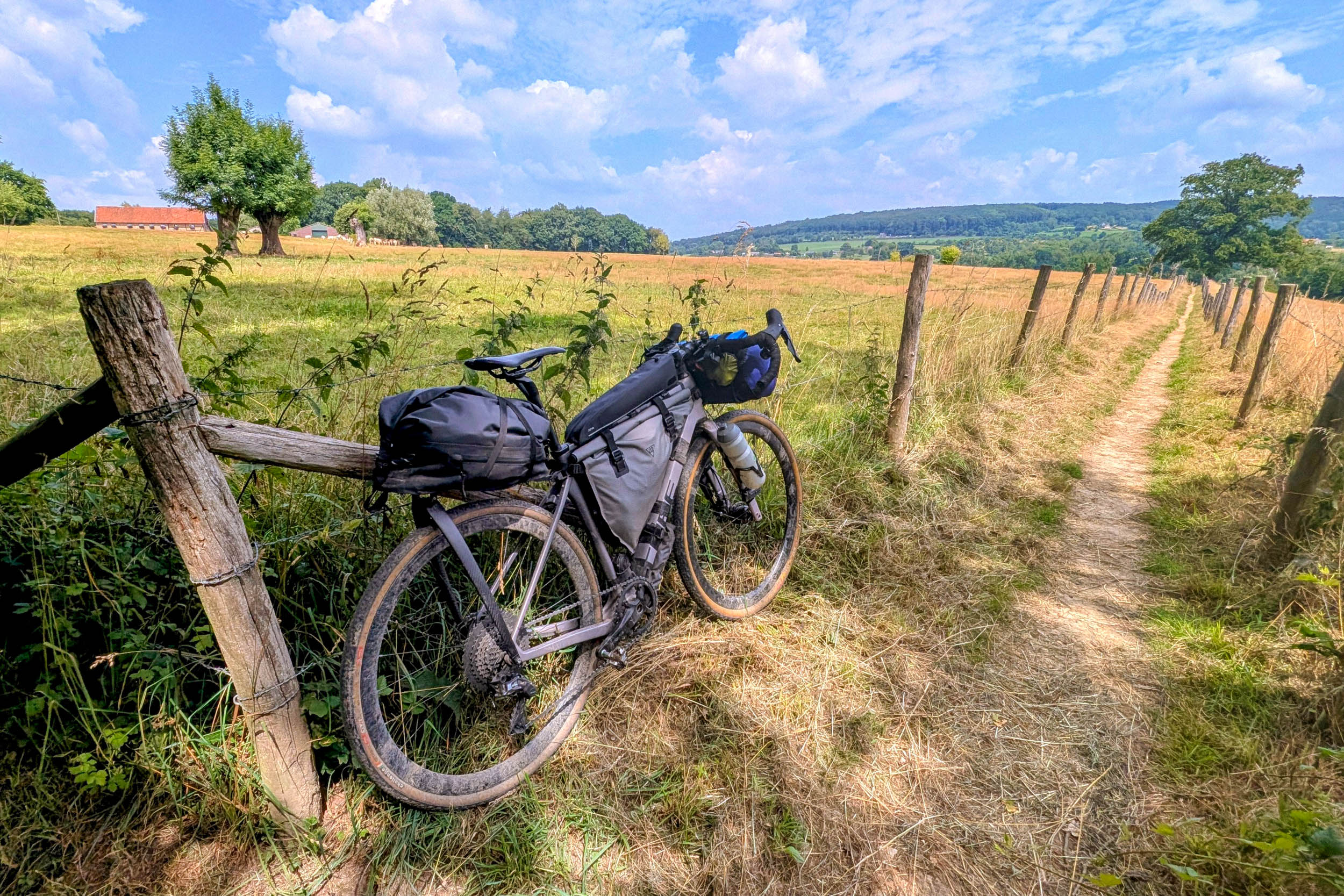
Exploring the ‘Beef with the Border’ Bikepacking Route: A Comprehensive Guide
Embarking on a bikepacking journey along the ‘Beef with the Border’ route offers an unparalleled adventure through the intricate landscapes of the Netherlands and Belgium. This meticulously crafted itinerary combines historical landmarks, diverse terrains, and cultural experiences, making it a must-ride for enthusiasts seeking both challenge and discovery.
Day 1: Cadzand-Bad to Stropersbos Bivouac Zone (106 km, +246 m)
Begin your expedition in Cadzand-Bad, a coastal town renowned for its German tourist influx. As you depart, the bustling crowds give way to the serene landscapes of Zeeuws-Vlaanderen, the southernmost region of Zeeland. The path meanders through fortified towns like Sluis and Retranchement, whose 17th-century fortifications played pivotal roles during the Eighty Years’ War. Following the Schipdonk Canal, constructed post-Belgian independence, the route traverses expansive farmlands, leading to Zelzate—a prime resupply point. Conclude the day at the tranquil Stropersbos bivouac zone, ideal for an overnight stay.
Day 2: Stropersbos to Chaam (‘t Beekdal) (135 km, +532 m)
After a restful night in the forest, the journey continues along a dike toward Nieuw Namen, where the Dutch-Belgian border bisects the village. The route then veers east into the Port of Antwerp, one of Europe’s largest industrial hubs. A ferry ride across the Scheldt River brings you to De Kalmthoutse Heide National Park, offering natural respite with its sandy stretches and diverse flora. A detour to Zundert, Vincent van Gogh’s birthplace, provides cultural enrichment before reaching Nature Campsite ‘t Beekdal’ for the night.
Day 3: Chaam to Bergeijk (De Woeste Polder) (117 km, +510 m)
Today’s highlight is the unique border town of Baarle-Nassau/Baarle-Hertog, characterized by its complex border arrangements where properties straddle two countries. This historical anomaly offers a fascinating glimpse into medieval land agreements. The route then delves into the countryside, passing through forest tracks and heathlands, with optional detours to historical sites like the Dodendraad and the Reuselse Kei. Evening brings you to Farm Campsite De Woeste Polder, a welcoming stop for the night.
Day 4: Bergeijk to Maastricht (107 km, +483 m)
This segment follows the winding border eastward before turning south along the Meuse River. Notable sites include reconstructions of the Dodendraad and De Galgenberg, a former execution site. The route then follows the Meuse to Maaseik, crossing onto a gravel track atop the flood dike, offering expansive views. A ferry ride back into Belgium leads to quiet gravel roads through villages like Geulle aan de Maas and Kotem, with a poignant World War II tank monument near Kotem. The day concludes at Hoeve De Ploeg or accommodations in Maastricht or Lanaken.
Day 5: Maastricht to Vaals (Hoeve de Gastmolen) (69 km, +1,099 m)
This stage is characterized by climbs and varied terrain. Departing from Hoeve De Ploeg, the route skirts Maastricht before following the Albert Canal south. Near Visé, the Meuse is crossed for the final time, leading into the rolling hills of South Limburg. The terrain becomes rougher, with loose gravel and rocky tracks, culminating in the ascent to the Drielandenpunt, the highest point of the route. The day ends at Hoeve de Gastmolen, with nearby Vaals offering various amenities.
Day 6: Vaals to Swalmen (Aan de Grens) (120 km, +853 m)
Rejoining the route just across the German border, a winding singletrack climbs onto the Schneeberg ridge, offering sweeping views across the rolling hills of Limburg. The route continues over quiet farm tracks and unpaved bike paths toward Herzogenrath. Near the hamlet of Orsbach, it briefly follows an overgrown footpath directly along the border. From there, the route links together some of the finest natural areas along the Dutch-German border, including Teverener Heide, Wildpark Gangelt, and De Meinweg National Park. De Meinweg National Park is one of the scenic highlights of the route. Rough gravel roads wind through peaceful forests where deer and wild boar are often spotted. At the edge of the park stands Saint Ludwig, a former Franciscan monastery converted into a hotel, alongside a statue of Saint Louis of Toulouse, who famously renounced his claim to the throne to become a Franciscan friar. End the day at Farm Campsite Aan de Grens, conveniently located on the route. Nearby, Herberg de Bos serves hearty meals, while several alternative campgrounds are available if you prefer a different overnight stop.
Day 7: Swalmen (Aan de Grens) to Groesbeek (Het Smokkelpad) (114 km, +592 m)
After yesterday’s climbs, today’s stage is all about flowing gravel and endless forests. Brachter Wald sets the tone immediately, with smooth “champagne” gravel alternating with rooty woodland trails all the way to the outskirts of Venlo. The route skirts the eastern edge of Venlo Airfield before a short hike-a-bike along the perimeter fence of the nearby water treatment plant. Beyond Venlo, the forest returns. Fletcher Hotel-Restaurant, just outside Arcen, makes a convenient stop before the route enters De Hamert National Park and, shortly afterward, De Maasduinen National Park. Here, fast gravel roads wind through one of the Netherlands’ largest river dune landscapes. Once you leave the park, the supermarket in Siebengewald is the ideal place to restock. The final miles climb onto the Reichswald, an imposing moraine ridge overlooking the surrounding countryside. A short detour leads to a well-preserved Celtic field system, while the main route passes a hidden World War II trench—easy to miss, as no signs mark its location. Descend through the forest to Nature Campsite Het Smokkelpad, where a peaceful setting and spacious campsites provide the perfect end to one of the route’s finest days of riding.
Day 8: Groesbeek (Het Smokkelpad) to Winterswijk (NTKC terrein Masterveld) (123 km, +521 m)
The landscape changes once again as the route enters the Rhine delta. Over thousands of years, the Rhine carved its way through the moraine ridges of the Reichswald and Hochelten, creating the broad floodplains that now define this fertile farming region. A short ferry crossing at Millingen aan de Rijn brings you to the opposite bank, where the route passes through the riverside villages of Tolkamer and Lobith before following another branch of the Rhine. Dominating the flat landscape is the tower of St. Vitus Church, visible from miles away. You’ll encounter the saint again later in the day in the form of an old border marker carved with his likeness. Once marking the boundary of Elten Abbey’s extensive lands, the stone is a reminder that this landscape was once divided by monasteries and feudal estates rather than modern national borders. Continuing east, the autobahn near Elten